Enterprise RTLS technology advisor & architecture sizer
Evaluate positioning technologies (BLE, WiFi, UWB, RFID) based on your venue type, accuracy targets, and wireless infrastructure.
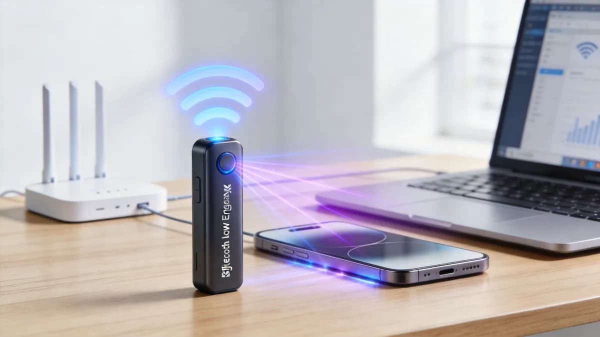
Bluetooth Low Energy (BLE) beacon overlay with WiFi telemetry
Core technology: BLE RSSI / Virtual BLE (vBLE) + Enterprise WiFi APs
The industry standard sweet spot for hospital asset tracking, staff safety badges, and blue-dot indoor navigation. Uses existing AP internal BLE radios (or low-cost stick-on beacons) to deliver reliable room-level certainty.
Key architectural benefits for Healthcare & hospitals
- Runs on the enterprise wireless access points already in the ceiling, with no new cable runs
- Tags cost a fraction of proprietary RTLS alternatives
- Immediate room-level attribution for medical asset utilisation and sanitisation records
Real-time location services (RTLS) give enterprise operators continuous visibility over physical assets, personnel, and visitor foot traffic across complex indoor environments. By transforming raw wireless signals into actionable spatial telemetry, RTLS enables automated asset tracking, indoor navigation, safety alerting, and venue occupancy analyses. When integrated with existing guest WiFi infrastructure and BLE networks, location intelligence becomes a foundational asset for smart buildings, hospitals, transport hubs, and retail venues.
Key takeaways: Real-time location services (RTLS) guide
- Definition & core function: Real-time location services (RTLS) automatically identify, track, and monitor the location of physical assets, staff, and visitors inside buildings using wireless signals. Explore our WiFi analytics guide.
- Primary technologies: RTLS architectures combine Bluetooth Low Energy (BLE) beacons, enterprise WiFi networks, Ultra-Wideband (UWB), and RFID to match specific accuracy and budget requirements. Learn more in our guest WiFi guide.
- Precision levels: Location accuracy ranges from room-level positioning (3 - 5 metres via WiFi) down to sub-metre precision (BLE) and sub-decimetre accuracy (UWB).
- Multi-industry adoption: Essential for healthcare asset management, staff panic alerts, airport wayfinding, retail shopper pathing, and smart building occupancy analyses.
- Hardware-agnostic deployment: Modern cloud software like Purple overlays directly onto existing access points (Cisco Meraki, HPE Aruba, Ruckus, Juniper Mist) without expensive dedicated hardware rebuilds. Calculate potential returns with our captive portal ROI calculator.
What are real-time location services (RTLS)?
Real-Time Location Services (RTLS) refer to a combination of wireless hardware sensors and cloud analytics software designed to track and pinpoint the geographical location of assets, equipment, badges, or mobile devices in real time within a facility. Unlike outdoor GPS tracking, which relies on satellite signals that struggle to penetrate building walls, RTLS operates indoors using radio frequency (RF) signals transmitted across local wireless infrastructure.
How real-time location services work
An enterprise RTLS ecosystem functions through four interconnected stages to convert raw signal measurements into precise venue location coordinates:
- Signal transmission: Physical asset tags, staff badges, or smartphones transmit wireless packets via Bluetooth Low Energy (BLE), WiFi probe requests, or Ultra-Wideband (UWB) pulses.
- Sensor reception: Enterprise wireless access points (such as Cisco Meraki, HPE Aruba, Ruckus, or Juniper Mist) or dedicated BLE gateways receive the signals and record telemetry parameters like Received Signal Strength Indicator (RSSI) or Angle of Arrival (AoA).
- Location calculation: The RTLS engine applies mathematical algorithms - including trilateration, fingerprinting, and Time Difference of Arrival (TDoA) - to estimate exact X,Y coordinates on a venue floor plan.
- Application & workflow execution: Cloud management platforms translate coordinate data into interactive maps, asset search tools, automated geofence alerts, and historical WiFi analytics dashboards.
RTLS technology comparison: BLE, WiFi, UWB & RFID
Selecting the optimal RTLS protocol depends on your required positioning precision, infrastructure budget, tag battery lifespan, and venue layout.
| Technology | Positioning Accuracy | Infrastructure Requirement | Tag Battery Life | Best Enterprise Use Cases |
|---|---|---|---|---|
| Bluetooth Low Energy (BLE) | 1 - 3 meters | Low (Uses WiFi AP BLE receivers) | 3 - 7 years | Asset tracking, wayfinding, staff safety badges |
| WiFi (RSSI / AoA) | 3 - 8 meters | Zero additional hardware (Uses existing APs) | 1 - 3 years (or mobile device) | Venue footfall analytics, guest density mapping |
| Ultra-Wideband (UWB) | 10 - 30 centimeters | High (Dedicated UWB anchors) | 1 - 2 years | High-precision manufacturing, surgical tool tracking |
| Active RFID | 2 - 5 meters | Medium (Fixed RFID readers) | 3 - 5 years | Choke-point tracking, yard management, logistics |
| Passive RFID | Near touch (< 1 meter) | Medium (Portal scanners) | No battery required | High-volume inventory audits, garment tagging |
Top enterprise use cases for real-time location services
1. Healthcare asset tracking & staff safety
Hospitals lose millions annually due to misplaced mobile equipment like IV pumps, wheelchairs, and telemetry monitors. Implementing BLE or WiFi RTLS allows clinical staff to locate critical items instantly, reducing search times and preventing unnecessary equipment rentals. Additionally, wearable RTLS badges provide staff with panic button functionality, broadcasting real-time location coordinates during duress situations.
2. Airports & transportation hubs
Airports deploy location services to streamline passenger journeys, manage queue bottlenecks, and optimise ground support equipment. Passengers receive blue-dot indoor navigation on their mobile phones through interactive maps, while operations teams monitor wheelchair fleet distribution and maintenance vehicle locations across terminals.
3. Smart buildings & workplace utilisation
Corporate facility managers use anonymized WiFi location data to understand desk usage, meeting room occupancy rates, and peak building flow patterns. This spatial intelligence enables informed lease sizing, energy management, and automated cleaning schedules based on actual footfall counts.
4. Stadiums & large entertainment venues
Large sports venues track crowd movement to identify concession stand queues, redirect foot traffic via digital signage, and ensure rapid emergency response dispatch. By combining location services with captive portal splash pages, venue operators deliver location-relevant offers to fans on their seats.
5. Retail footfall pathing & layout optimisation
Retail store operators analyse shopper dwell times across key departments, evaluate window display conversion rates, and optimise floor layouts. Combining RTLS location data with CRM profiles enables contextual, localized push notifications when shoppers approach featured product displays.
Key considerations when deploying an enterprise RTLS
To ensure a smooth rollout and maximum return on investment, consider these operational factors prior to deployment:
- Required precision level: Define whether your use case demands room-level accuracy (WiFi) or sub-metre precision (BLE/UWB) to avoid over-engineering infrastructure costs.
- Access point density & placement: Ensure access points are positioned along perimeter corners and throughout central zones to facilitate accurate signal trilateration.
- Hardware independence: Choose an open, hardware-agnostic platform like Purple that overlays onto existing wireless access points without vendor lock-in.
- Privacy & GDPR compliance: Implement one-way MAC address hashing and anonymized data collection to maintain guest trust and satisfy regulatory standards.
Frequently asked questions about real-time location services
What is real-time location services (RTLS)?
Real-Time Location Services (RTLS) is a wireless technology system that automatically tracks and pinpoints the real-time physical position of assets, equipment, and people within indoor facilities like hospitals, airports, and retail stores.
How do WiFi-based RTLS and BLE RTLS differ?
WiFi RTLS uses existing wireless access points to locate devices within 3 to 8 metres without extra hardware. BLE RTLS uses Bluetooth beacons and receivers to provide higher accuracy (1 to 3 metres) and extended tag battery life up to 7 years.
What accuracy level can enterprise RTLS achieve?
Accuracy depends on the protocol: WiFi provides 3 to 8 metre accuracy, BLE offers 1 to 3 metre precision, and Ultra-Wideband (UWB) delivers sub-decimetre precision within 10 to 30 centimeters.
How does RTLS ensure user privacy and GDPR compliance?
Enterprise platforms like Purple anonymize personal mobile identifiers by hashing device MAC addresses and stripping personally identifiable information (PII) before storing location telemetry for analytics.
What wireless hardware supports Purple RTLS & location analytics?
Purple is hardware-agnostic and overlays directly onto major enterprise access point infrastructure, including Cisco Meraki, HPE Aruba, Ruckus, Juniper Mist, and Ubiquiti UniFi.
Unlock real-time location intelligence across your physical venues
Track high-value assets, optimize visitor flow, and enhance staff safety with Purple's hardware-agnostic location services platform.